Measurement of microclimate, geology and soil
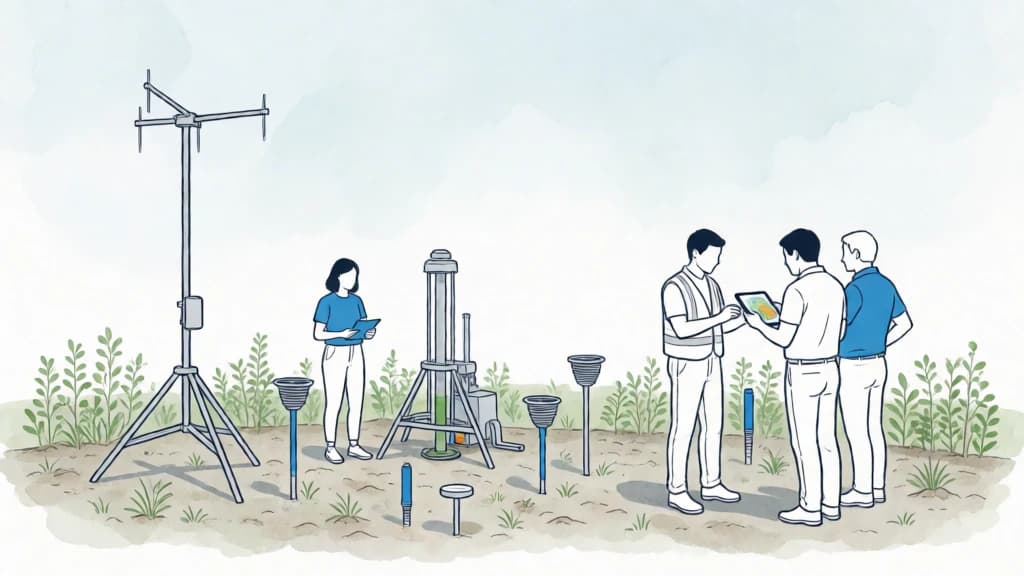
Baseline strategy · No scoreCollects local climate, terrain and water data to replace generic assumptions with site conditions.
How it works
Collects local climate, terrain and water data to replace generic assumptions with site conditions.
It converts objectives into verifiable decisions through simulation, measurement, review, learning and clear responsibilities throughout the life cycle.
When does it make sense?
- Before irreversible decisions and after putting the system into use
- When there is a specific question the data can answer
- With defined data quality, privacy, responsibility and subsequent actions
How to apply it
- 1
Define what needs resolves "microclimate, geology and soil measurement" and establish a starting situation.
- 2
Compare alternatives and adapt design to climate, use, regulation, affected people and available resources.
- 3
Apply with clear responsibilities, check the actual result and correct unwanted effects.
Potential benefits
More informed decisions
Early detection of failures
Learning and continuous improvement
Limitations and precautions
- The result depends on context, design, execution and how it is used and maintained.
- Measuring without ability to act adds complexity without improving results.
- Models and certifications depend on assumptions, scope, data and verification.
Keep Exploring
Related strategies